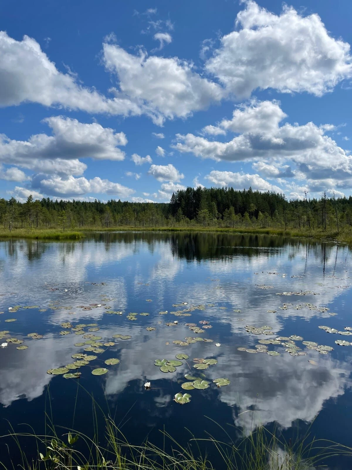
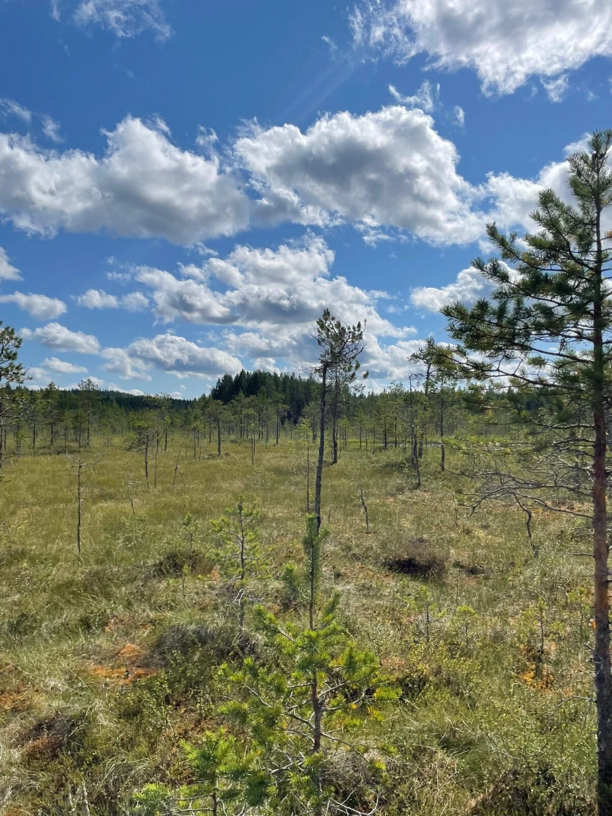
The Vitikkamäki nature trail, maintained by the city of Pyhäjärvi, is located in the Suomenselkä watershed. The landscape of the trail is dominated by spectacularly boulder-strewn bedrock, beautiful broadleaf forests and bog areas located in the lower parts of the terrain. The terrain varies along the route, and from the highest point of the route there is a view of the largest body of water in the area, Lake Pyhäjärvi. The environment in the area is undisturbed, thus providing good conditions for typical Finnish plant and animal species.You can get maps of Vitikkamäki from the Marjoniemi reception.- The entire tour is quite long (approx. 9.1 km), allow enough time. You can also walk the northern or southern part of the trail as your own route. The northern part is approx. 5.9 km long and the southern part is approx. 4.7 km long.
- The trail is marked in red on the trees along the trail. In the gaps, you can recognize the trail by the tree trunks left approx. 2 m long. In addition, there are guide maps at the intersections on the trail.
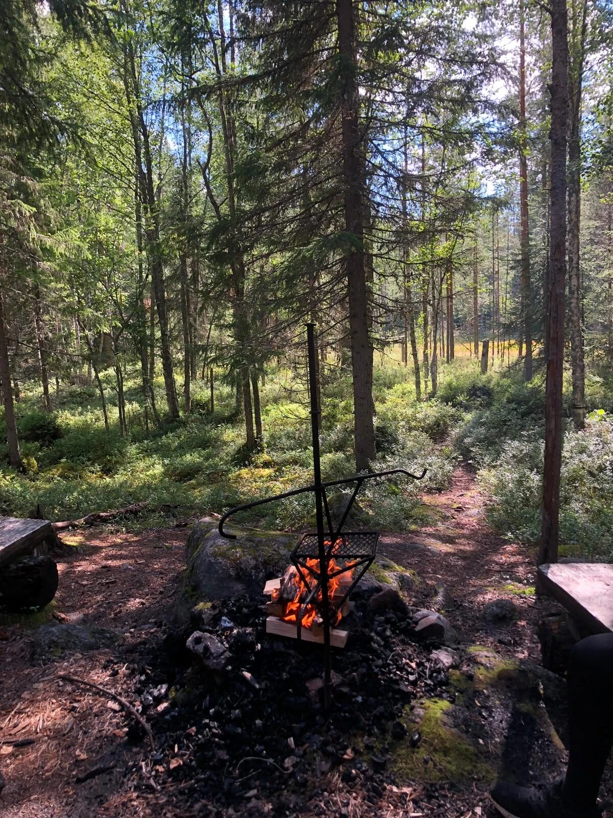
- There are two campfire sites on the trail, both of which have a lean-to and one also has a toilet. See the map for the locations!
- The terrain on the trail is difficult and damp in places. Hiking shoes or rubber boots are recommended footwear.
- The trail is traveled counterclockwise.
- The text and picture boards placed along the trail will help you observe nature. However, remember to make your own observations as you walk!
- Remember your rights and responsibilities as an everyman when moving around in nature!
- Be careful when making fire!


